Manitoba Transportation and Infrastructure’s Hydrologic Forecast Centre has updated its 2026 spring flood outlook, indicating an increased flood risk in the Interlake region particularly in the Fisher River basin, while conditions elsewhere in the province remain largely unchanged from the March outlook.
The elevated risk is due to significantly above‑normal snowpack, a delayed spring melt and an increased likelihood of rapid spring runoff combined with spring precipitation.
Recent snow surveys indicate that snow water equivalent across the Fisher River basin is among the highest observed in the basin in recent years. Forecast snowfall over the coming days may further increase snow water equivalent to approximately 110 millimetres, nearly double the long‑term average and equal to or greater than levels observed in several past flood years. Temperatures are expected to remain near zero through mid‑April, delaying the start of snowmelt and increasing the risk of a rapid, and concentrated spring runoff period once melting begins.
Spring flood risk remains high for the Fisher River basin. Flow forecasts suggest elevated flood potential throughout the basin. Under median forecast conditions, peak flows are expected to reach levels similar to those observed during the 2014 spring flood. Under unfavourable weather conditions, flows could approach levels seen during the 2022 flood, which were about two feet higher than 2014.
The Icelandic River continues to face a moderate risk of flooding as later spring runoff approaches. Widespread flooding is not expected under normal melt conditions, the near-normal to above-normal snowpack means a rapid warm-up or spring rainfall could trigger sudden rises in water levels. Ice‑jam flooding remains a primary concern, even when overall flood risk is moderate.
Outside the Interlake region, the provincial flood outlook remains largely unchanged from March. Moderate flood risk continues along portions of the Red, Assiniboine, Souris, Saskatchewan and Carrot rivers, while low flood risk is expected for tributaries of the Red and Assiniboine rivers and for much of eastern Manitoba, including the Winnipeg River basin.
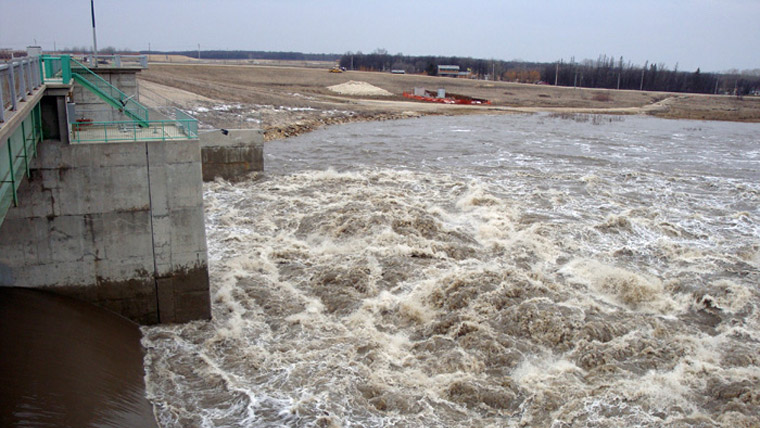
Inflow to the Portage Reservoir is approaching the ice management threshold of 5,000 cubic feet per second (cfs) and operation of the Portage Diversion is expected to begin this week. The Portage Diversion will be used to limit discharge to the Lower Assiniboine to 5,000 cfs while ice is present to help mitigate ice jamming. The Red River Floodway is not expected to be operated under normal and favourable weather conditions. The Shellmouth Reservoir (Lake of the Prairies) has been lowered in preparation for spring runoff.
As with all spring flood seasons, conditions can change rapidly once snowmelt begins, especially if warm temperatures or rainfall occur over a short period. Overland flooding may occur in low‑lying areas if rapid snowmelt combines with rainfall while drainage systems remain partially frozen or obstructed.
The Hydrologic Forecast Centre will continue to update forecasts as weather and spring runoff conditions evolve. Manitobans are encouraged to stay informed as spring runoff approaches, particularly those living near rivers, streams and low‑lying areas.
The Manitoba Emergency Management Organization continues to work with local authorities, First Nations and emergency management partners to provide guidance and support to prepare for and respond to spring flooding. This includes reviewing existing emergency plans, sharing information and preparing resources used in flood response.