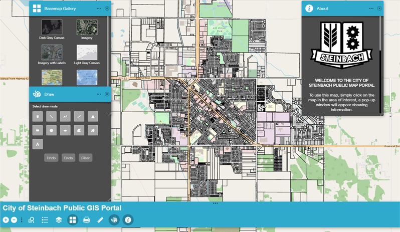
The City of Steinbach has launched a new online public mapping service that helps businesses and developers find available land and allow residents to easily access basic property data. The service is delivered by ESRI, a leader and international supplier of geographic information systems software.
“The service does not provide new information, but it does provide it in a visual way that is easy to navigate,” said Mitchell Eastley, the City’s GIS Developer/Technician. “All of the information is accessed through an online public portal in the form of a city map.”
The tool is especially helpful for people looking to develop in Steinbach. Someone that might be interested in a specific lot or land parcel can now easily choose map options that overlay zoning designations and the city’s official community plan. Users can quickly see if a property is zoned residential or commercial and identify development possibilities. Residents can search individual property roll number, current assessment detail, lot dimension information, and even garbage pick-up day.
“Although we now offer a self-serve option for land information in Steinbach, we are always available to talk in-person with developers and residents about opportunities in the city,” states Troy Warkentin, City Manager. “This is just a tool that might initiate and help with those conversations.”
Eastley cautioned that although the mapping service provides a lot of useful information and tools, including the ability to measure distances and areas and overlay aerial photography, it is not exact. The service does not replace a proper land survey.
The mapping service can be accessed from the City’s website at www.steinbach.ca.