The Red River crest has arrived in southern Manitoba at its lower predicted range, Infrastructure Minster Ron Schuler announced.
“This is good news as the substantial run-off we’re seeing throughout the Red River Basin will remain at the lower end of the forecast, with levels similar to those we saw in 2006 at Emerson and Letellier and levels closer to 2019 north from St. Jean Baptiste,” said Schuler. “We always prepare for the worst but hope for the best, and so far the weather has co-operated. Cooler temperatures have slowed the melt and helped control high water in Manitoba, and we aren’t expecting any major spring storms in the week ahead.”
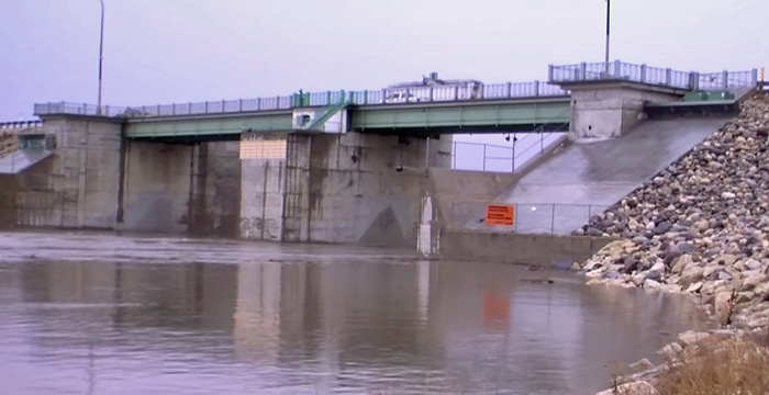
The Red River has crested from Emerson to St. Jean Baptiste. Provincial Trunk Highway (PTH) 75 at Morris is expected to remain open, as an earthen ramp has been constructed at the north end of Morris so traffic can continue to use the highway. The river is expected to peak today at Morris, Ste. Agathe and St. Adolphe, and within the next 24 hours at the Red River Floodway inlet south of Winnipeg. A flood warning remains in place for the river from Emerson to the Red River Floodway inlet.
Provincial crews were deployed in a number of communities in the Red River Valley to close ring dikes as required. Pumping operations are underway at most ring dike communities. Response teams are observing recommended public health measures for COVID-19.
Operation of the floodway continues to reduce water levels in Winnipeg. The Red River level is around 18.7 feet at James Avenue with the crest forecast to arrive within the next two days at between 19 and 19.3 ft., maintained by floodway operation. The current flow in the floodway channel is almost 20,000 cubic feet per second.
The Red River is now projected to return within bank in early May. The Red River Floodway will likely continue operations until mid-May depending on future weather conditions.
The minister noted that levels are reducing along the Red River in North Dakota, currently at 18.2 ft. in Fargo and 35.6 ft. in Grand Forks. At this time, there is sufficient capacity in the channel to withstand a major storm.
Downstream north of Winnipeg, the ice cleared out a few days ago so ice dam-related high water is no longer an issue. A high water advisory remains in place for the Red River from Lockport to Netley Creek as water levels remain high and will continue to rise as the peak moves down the river.
Lake Winnipeg is at 714.9 ft. while Lake Manitoba is at 811.4 ft., both within operating levels. The province has issued, and will continue to issue, high wind and ice pileup warnings as required as the ice dissipates.
The Assiniboine River and northern rivers such as the Saskatchewan and Carrot near The Pas are forecast to remain mostly in bank. The Assiniboine peak is forecast to reach Winnipeg tomorrow, with little or no influence on James Avenue levels in Winnipeg. Ice jams on the Saskatchewan and Carrot rivers could cause temporary over-bank high water. The Portage Diversion ceased operations yesterday.
A number of roads are impacted by high water levels including parts of Provincial Road (PR) 217, PR 246 and PR 320. For detours and a complete list of closures, visit manitoba511.ca.